Maps, world-views and neutrality: squaring the circle?

 Add a caption and credit for this image.
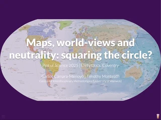
Map-making is a serious business. There’s a science devoted to that, and only highly specialised companies and organisations can endeavour to translate every feature on Earth into a feature on a map with the right size and location. But that’s what make maps reliable, too. So much so that, besides being part of our everyday lives, scientists use them to assess the effects of drought and deforestation, identify migration patterns or making predictions, amongst others. And yet, all maps are wrong. All of them make assumptions on how the world is or should be, and in so doing, maps have particular built-in world views and become political. They define what is included and what is not, what can and can’t be done with them, and the stories that they convey. In other words: maps shape the world as much as they are shaped by them. In this talk, we will explain how maps are made to understand how they have been used to exert power and how they are still doing so. We will then focus on OpenStreetMap, a collective effort to “map the world as it is”, and how are they succeeding or failing in doing so in an equitable way.

I am an interdisciplinary researcher whose research articulates around how physical and digital infrastructures, especially those that are commonly produced, respond to and are shaped by societal challenges. I’ve worked as an architect, drupal developer, project manager, lecturer, data scientist, and currently as Principal Research Software Engineer.
My research interests revolve around the social aspect of technology and methods to surface the world-views that are invariably embedded in technical artefacts such as cities, software or platforms. To do so, I use mixed methods with a preference for digital methods, participatory methods and data visualisation and a keen interest in EDI and open research best practices to make research Findable, Accessible, Interoperable, and Reusable